Tjaynera Falls
Appearance
| Tjaynera Falls | |
|---|---|
 | |
| Location | Litchfield National Park, Northern Territory, Australia |
| Coordinates | 13°14′40″S 130°45′28″E / 13.24444°S 130.75778°E[1] |
| Elevation | 103 metres (338 ft) AHD |
| Total height | 35–48 metres (115–157 ft) |
| Number of drops | 1 |
| Watercourse | Sandy Creek |
The Tjaynera Falls is a waterfall on the Sandy Creek that is located within the Litchfield National Park in the Northern Territory of Australia.
Location and features
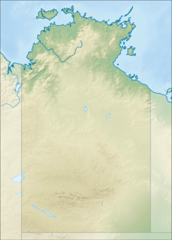
[edit]The waterfall descends from an elevation of 103 metres (338 ft) above sea level in one drop that ranges in height between 35–48 metres (115–157 ft).[2][3] Accessible by four-wheel drive trail, the falls are in the western portion of the park, 90 kilometres (56 mi) south of Darwin.
See also
[edit]References
[edit]- ^ "Tjaynera Falls (NT)". Gazetteer of Australia online. Geoscience Australia, Australian Government.
- ^ "Map of Tjaynera Falls, NT". Bonzle Digital Atlas of Australia. Retrieved 17 May 2014.
- ^ "Map of Tjaynera (Sandy Creek) Falls, NT". Bonzle Digital Atlas of Australia. Retrieved 17 May 2014.
External links
[edit]- "Litchfield National Park: Fact sheet" (PDF). Parks & Wildlife Commission of the Northern Territory (PDF). Government of the Northern Territory. April 2014. Archived from the original (PDF) on 17 May 2014.
- "Litchfield National Park". Parks and Wildlife Commission NT. Government of the Northern Territory. May 2014.
- "Litchfield National Park". Australia 4 Wheel Drive Rentals and Goholi Pty Limited. March 2014.
