Schwedenschanze (Dörscheid)
| Schwedenschanze | |
|---|---|
| Dörscheid | |
The Schanze seen from the direction of Dörscheid | |
| Coordinates | 50°06′30″N 7°44′40″E / 50.10822°N 7.744482°E |
| Type | Sternschanze |
| Code | DE-RP |
| Height | 349 m above sea level (NN) |
| Site information | |
| Condition | burgstall (no above-ground ruins) |
| Site history | |
| Built | probably 1631/32 |
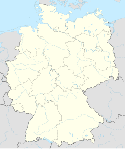
The Schwedenschanze in Dörscheid in the Middle Rhine valley is a Sternschanze or star-shaped fortification that was probably built when the Landgrave of Hesse was besieged by the Palatine Kaub in 1631/32 during the Thirty Years' War.
The schanze lie 750 metres west of the village of Dörscheid on an eminence. It is no longer recognisable as a Sternschanze because it has been heavily slighted. Only at the southwestern tip is the bank up to about 2 metres high. There was once a ditch about five metres wide that is no longer visible.
Protected monument
[edit]The site of the schanze is a protected ground monument (Bodendenkmal) under Rhineland-Palatinate law. Permission must be sought for excavations and targeted collection of artefacts; incidental finds must be reported to the authorities.
Literature
[edit]- Karl August von Cohausen: Landwehren und alte Schanzen des Regierungsbezirks Wiesbaden in the Nassau Annals (Nassauische Annalen), Vol. 15 (1879).
