Garu, Ghana
Appearance
Garu | |
|---|---|
District Capital | |
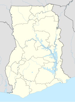
Location of Garu in Upper East region | |
| Coordinates: 10°51′N 0°10′W / 10.850°N 0.167°W | |
| Country | Ghana |
| Region | Upper East Region |
| District | Garu-Tempane District |
| Population (2013) | |
| • Total | — |
| Time zone | GMT |
| • Summer (DST) | GMT |
Garu is a town and is the administrative capital of Garu District, a district in the Upper East Region of northern Ghana.[1]
Garu is the only town in Ghana which is bordered by two countries: Republic of Togo to the east and Burkina Faso to the north. To the south by East Mamprusi District and to the west by Bawku Municipal.[2]
Hon. Albert Akuka Alalzuuga is the current member of Parliament in the Garu constituency under the ticket of the NDC.[3]
Garu Presbyterian Agricultural Station was established in 1967 by the Presbyterian Church of Ghana (PCG) and is working to improve the living standards of the people in the area.[4]
References
[edit]- ^ Garu-Tempane District
- ^ "Garu-Tempane". mofa.gov.gh. Retrieved 2023-06-12.
- ^ "Parliament of Ghana". www.parliament.gh. Retrieved 2023-06-12.
- ^ Garu Presbyterian Agricultural Station, Background and History Archived 2018-08-31 at the Wayback Machine, accessed 8 November 2019
10°51′N 0°10′W / 10.850°N 0.167°W

