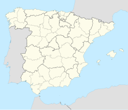
Encinedo
Appearance
This article needs additional citations for verification. (April 2024) |
Encinedo, Spain
Encinéu | |
|---|---|
| Coordinates: 42°16′15″N 6°35′39″W / 42.27083°N 6.59417°W | |
| Country | Spain |
| Autonomous community | Castile and León |
| Province | León |
| Municipality | Encinedo |
| Government | |
| • Mayor | José Manuel Moro Carrera (PP) |
| Area | |
| • Total | 195.01 km2 (75.29 sq mi) |
| Elevation | 997 m (3,271 ft) |
| Population (2018)[1] | |
| • Total | 686 |
| • Density | 3.5/km2 (9.1/sq mi) |
| Demonym(s) | cabreirense; cabreirés, cabreiresa |
| Time zone | UTC+1 (CET) |
| • Summer (DST) | UTC+2 (CEST) |
| Postal Code | 24745 |
| Telephone prefix | 987 |
| Website | Ayto. de Encinedo |
Encinedo (Spanish pronunciation: [enθiˈneðo]), Encinéu in Leonese language, is a municipality located in the province of León, Cabreira shire, Spain. According to the 2010 census (INE), the municipality has a population of 870 inhabitants.
Language
[edit]Leonese language is widely spoken in this municipality.[citation needed]
See also
[edit]References
[edit]- ^ Municipal Register of Spain 2018. National Statistics Institute.


