Germain Bay
Appearance
Paghimo ni bot Lsjbot. |
| Germain Bay | |
| Luuk | |
| Nasod | |
|---|---|
| Lalawigan | Northwest Territories |
| Gitas-on | 176 m (577 ft) |
| Tiganos | 60°41′01″N 111°50′08″W / 60.68372°N 111.83554°W |
| Timezone | MST (UTC-7) |
| - summer (DST) | MDT (UTC-6) |
| GeoNames | 5960627 |
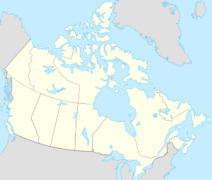
Luuk ang Germain Bay sa Kanada.[1] Nahimutang ni sa lalawigan sa Northwest Territories, sa sentro nga bahin sa nasod, 2,900 km sa amihanan-kasadpan sa Ottawa ang ulohan sa nasod.
Ang klima boreal.[2] Ang kasarangang giiniton −5 °C. Ang kinainitan nga bulan Hulyo, sa 18 °C, ug ang kinabugnawan Marso, sa −17 °C.[3]
Ang mga gi basihan niini
[usba | usba ang wikitext]- ↑ Germain Bay sa Geonames.org (cc-by); post updated 2006-01-18; database download sa 2015-12-29
- ↑ Peel, M C; Finlayson, B L. "Updated world map of the Köppen-Geiger climate classification". Hydrology and Earth System Sciences. 11: 1633–1644. doi:10.5194/hess-11-1633-2007. Retrieved 30 Enero 2016.
{{cite journal}}: CS1 maint: unflagged free DOI (link) - ↑ "NASA Earth Observations Data Set Index". NASA. Retrieved 30 Enero 2016.
