Endestadvatnet
Tools
Actions
General
Print/export
In other projects
Appearance
From Wikipedia, the free encyclopedia
Lake in Norway
| Endestadvatnet | |
|---|---|
| Location | Kinn, Vestland |
| Coordinates | 61°36′06″N 5°34′18″E / 61.6016°N 5.5717°E / 61.6016; 5.5717 |
| Primary inflows | Lykkjebøvatnet lake |
| Primary outflows | Storelva river |
| Basin countries | Norway |
| Max. length | 5 kilometres (3.1 mi) |
| Max. width | 1.5 kilometres (0.93 mi) |
| Surface area | 3.49 km2 (1.35 sq mi) |
| Shore length1 | 13.64 kilometres (8.48 mi) |
| Surface elevation | 59 metres (194 ft) |
| References | NVE |
| 1 Shore length is not a well-defined measure. | |
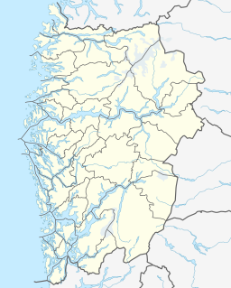
Endestadvatnet is a lake in the municipality of Kinn in Vestland county, Norway. The lake is located about 8 kilometres (5.0 mi) east of the village of Eikefjord and 5 kilometres (3.1 mi) west of the lake Emhjellevatnet in neighboring Gloppen municipality.[1]
See also
[edit]References
[edit]- ^ "Endestadvatnet" (in Norwegian). yr.no. Retrieved 2010-08-08.
Hidden categories:
- Pages using gadget WikiMiniAtlas
- CS1 Norwegian-language sources (no)
- Articles with short description
- Short description is different from Wikidata
- Coordinates on Wikidata
- Articles using infobox body of water without image
- Articles using infobox body of water without pushpin map alt
- Articles using infobox body of water without image bathymetry
- All stub articles

